You can fall in love with a Portola Valley lot at first sight, but the ground beneath your feet tells the real story. On steep, scenic parcels in the Santa Cruz Mountains foothills, geology drives what you can build, how much you will spend, and how long it will take. This guide shows you how to vet a lot the right way, with clear steps, timelines, costs, and red flags so you can buy with confidence and keep your project on track from LOI to permits. Let’s dive in.
Why geology matters in Portola Valley
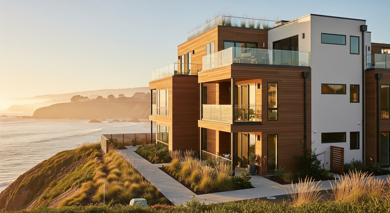
Portola Valley sits along the western slope of the northern Santa Cruz Mountains on the San Francisco Peninsula. The terrain is hilly to steep, with bedrock outcrops, pockets of loose colluvium, and areas with historic landslides. These conditions make careful due diligence essential.
The most important hazards to evaluate are strong earthquake shaking, potential surface fault rupture where regulated, landsliding and slope instability, variable and expansive soils, perched groundwater or seeps, and erosion or drainage concentration. You also need to consider riparian corridors, heritage tree protections, and other environmental overlays that can limit grading and building areas.
Top hazards to check
- Earthquake shaking and seismic design needs
- Surface fault rupture potential within regulated fault zones
- Landslides, slope instability, and signs of past movement
- Expansive, shallow, or collapsible soils that affect foundations
- Groundwater, springs, or persistent seeps
- Erosion and concentrated stormwater runoff
- Riparian setbacks, tree protections, and biological or archaeological constraints
Lower, but still relevant, priorities include liquefaction potential in certain settings and floodplain issues on creekside parcels. Site-specific mapping and field review help set the true risk profile.
Staged due diligence workflow
A staged approach lets you screen fast, focus your budget where it matters, and protect your contract timeline. Use these phases to move from desktop to permits with fewer surprises.
Desktop screening: 1–2 weeks
Start before you write an offer. Review regional fault and seismic hazard maps, landslide inventories, FEMA flood maps, county parcel data, and soils information. Check Town of Portola Valley planning and building constraints, hillside or development overlays, and tree or stream ordinances. Ask the seller for prior geotechnical or geologic reports, septic records, well logs if present, and any grading or repair history. A short memo flags obvious issues and recommends next steps. Typical cost is 1,000 to 4,000 dollars.
Site recon: 2–4 weeks
A licensed engineering geologist or geotechnical engineer walks the site to verify desktop findings. They document slope angles, outcrops, cut and fill areas, evidence of prior movement, springs or seeps, and access for testing equipment. You will receive a reconnaissance report with photographs, an annotated parcel map, and recommended test locations. Typical cost is 3,000 to 10,000 dollars.
Geotechnical investigation: 6–12+ weeks
If the recon looks feasible, authorize subsurface exploration. Expect multiple borings and test pits on steep parcels, field tests such as SPT or shear vane, and lab testing for moisture, Atterberg limits, grain size, and consolidation. If you will rely on on-site septic, schedule percolation testing. Add groundwater monitoring where seepage is suspected. Deliverables include subsurface logs, lab data, seismic design parameters per current code, foundation and retaining wall criteria, grading and erosion control guidance, and any needed slope stability analyses. Typical cost is 10,000 to 60,000 dollars or more depending on complexity.
Design and permitting: months
Your civil engineer, structural engineer, and architect convert geotechnical recommendations into plans for grading, drainage, foundations, and structures. Submit to the Town of Portola Valley Planning and Building for building permits and any required discretionary approvals such as design review, grading, or tree and landscape permits. Complex hillside work can add reviews and time. Typical timeline is 3 to 9 months, or longer for projects needing public hearings or environmental review.
Construction and inspections
Expect geotechnical observation during grading and foundation phases. Building departments commonly require final geotechnical certifications before occupancy.
What reports you will need
- Desktop memo or reconnaissance letter
- Quick screening for fatal flaws, initial test recommendations, and a risk snapshot.
- Preliminary geologic reconnaissance report
- Field mapping of visible geology and slope indicators, plus a scoped plan for subsurface work.
- Full geotechnical report for permits
- Subsurface logs and lab data
- Groundwater observations and subsurface profile
- Seismic design parameters per current code
- Foundation type, depth, and allowable bearing pressures
- Lateral earth pressures and retaining wall criteria
- Grading, temporary shoring, drainage, and erosion control
- Slope stability analyses and mitigation where needed
- Required observation and testing during construction
- Septic and percolation report and design if not on municipal sewer
- Specialty studies as needed
- Landslide remediation design, fault-rupture evaluation, hydrology or drainage studies, and biological or archaeological reports if triggered by the project scope
These documents answer core questions: where you can safely site a home, what foundations and seismic criteria to use, whether landslides are present and mitigable, if septic is feasible and where it should go, and what grading and drainage measures your project will require.
Portola Valley permits and triggers
- Local review
- Coordinate early with the Town of Portola Valley Planning and Building for development rules, grading permits, and any hillside or landscape ordinances that affect buildable area.
- State hazard maps and triggers
- If the site is in a mapped earthquake fault zone, a site-specific fault study is required before development. Seismic hazard zones may also require focused studies.
- Utilities, septic, and water
- Confirm municipal water and sewer availability. Some parcels rely on wells or on-site septic, which require testing and design.
- Lenders and title
- Many lenders require a geotechnical report before financing new construction on a vacant lot. Title may note easements, slope or landscape restrictions, or recorded landslide covenants that limit building location or add maintenance obligations.
- Environmental review
- Large grading or discretionary approvals can trigger environmental review and require mitigation for biological resources, erosion control, or cultural resources.
- Construction observation
- Building departments typically require geotechnical observation during critical phases and final certification prior to final inspection.
Red flags that raise risk or cost
- Mapped active fault trace crossing the parcel in a regulated zone
- Visible historic landslide scars, bulging toes, tilted trees, or open tension cracks
- Springs, persistent seeps, or perched water on slopes
- Extensive undocumented fill or recent grading without permits
- Very steep slopes combined with shallow colluvium or evidence of soil creep
- Setbacks that cannot meet riparian or tree protection requirements
- Failed percolation tests or lack of confirmed water supply
If any of these appear in desktop screening or field recon, expect additional studies, design constraints, or higher costs. Some can be deal-breakers.
Budget and schedule benchmarks
Use these ballpark figures to plan your due diligence and design budget. Costs vary by site access, slope, vegetation, and hazard complexity.
- Desktop screening: 1,000 to 4,000 dollars, 1 to 2 weeks
- Preliminary geologic recon: 3,000 to 10,000 dollars, 2 to 4 weeks
- Full geotechnical investigation and report: 10,000 to 60,000 dollars or more, 6 to 12+ weeks
- Specialized slope remediation design or instrumentation: tens of thousands to hundreds of thousands of dollars
- Civil grading and permit plan sets: tens of thousands to hundreds of thousands of dollars depending on scope
- Typical LOI to permit timeline
- Straightforward lot: 3 to 9 months
- Complex hillside or projects needing remediation or discretionary review: 9 to 18+ months
Smart contract and access tips
- Add a geologic and geotechnical contingency to your purchase contract with enough time to complete borings, lab work, and reporting.
- Secure written access from the seller for subsurface testing before closing.
- If you need on-site septic, schedule percolation tests early since failure can halt a deal.
- If desktop or recon shows a mapped fault trace or severe landslide, plan for additional specialist studies or a smaller buildable area.
- Leave time for possible discretionary approvals such as design review or grading permits.
Buyer checklist for the first 30 days
- Step 1: Run a rapid desktop screen against state and federal hazard maps and request prior reports and records from the seller.
- Step 2: If the desktop looks promising, hire a local licensed engineering geologist for field recon and a scope and cost estimate for borings and percolation testing.
- Step 3: Build a geotechnical contingency into your contract and confirm site access for drilling and testing.
Questions to ask right away:
- Seller: Are there prior geotechnical or geologic reports, septic or percolation records, well logs, grading permits, or slope repair documents? Any liens or maintenance obligations tied to slope repairs?
- Geotechnical consultant: How many borings or test pits do you recommend and why? What is the estimated cost and timeline? What foundation types and grading volumes are likely?
- Planner or building official: Which permits and approvals will be required? Are there hillside, tree, or creek protection ordinances that affect the site? What submittal requirements apply?
- Lender and title: Will the lender require a specific geotechnical report level? Do easements or restrictions affect buildable area?
The bottom line
Buying land in Portola Valley rewards a careful, staged approach. Start with desktop screening, confirm conditions in the field, then invest in a full geotechnical investigation that sets your design and permit path. Early coordination with Town planning and building, experienced local consultants, and smart contract contingencies are the best ways to control cost, reduce risk, and keep your custom home on schedule.
Ready to evaluate a specific lot or map out your due diligence plan? Connect with Unknown Company to schedule a consultation and get a clear, step-by-step path from offer to permits.
FAQs
What makes Portola Valley geology unique for buyers?
- The area’s steep Santa Cruz Mountains terrain, variable soils, and documented landslides mean slope stability, drainage, and seismic design drive feasibility and cost.
How long does geotechnical due diligence take in Portola Valley?
- A typical sequence runs 1 to 2 weeks for desktop review, 2 to 4 weeks for recon, and 6 to 12+ weeks for investigation and reporting, before design and permitting.
What does a geotechnical report include for permits?
- It provides subsurface logs, lab data, seismic parameters, foundation and retaining wall criteria, grading and erosion control, and slope stability analyses as needed.
Do you always need percolation testing on Portola Valley lots?
- Only if the project relies on on-site septic. If there is no municipal sewer connection, percolation testing and septic design are typical prerequisites for permits.
How do Alquist-Priolo fault zones affect building in Portola Valley?
- If a parcel lies in a mapped earthquake fault zone, a site-specific fault investigation is required and can restrict building locations or add study costs.
Can lenders require a geotechnical report for a land loan?
- Yes. Many lenders require a geotechnical report before financing new construction on a vacant lot, especially on hillside parcels.